Drone Dynamics Logo
UAV, one promise for delivering
  • Home
  • Applications
  • Products
    • Sentinel X4-Plus Recon
    • Sentinel X6-Plus II
    • SkyEye Ranger Y6
    • Eliminator X6-16
  • About
    • Contact
  • Menu

Precision Agriculture Explained

Posted on August 19, 2015September 29, 2015 by Drone Dynamics Press

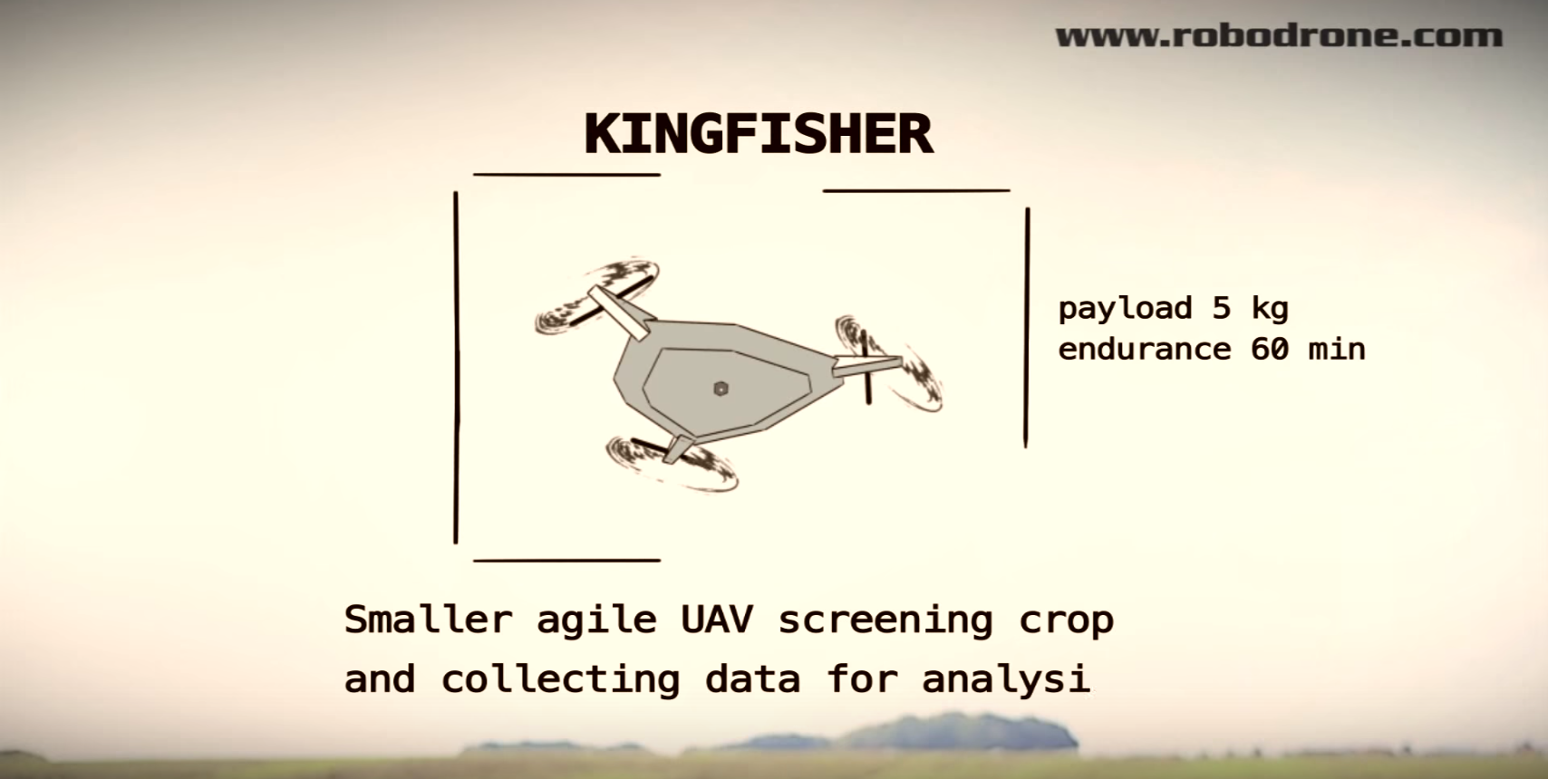
Here is a good video example which explains how drones can assist agriculture.

A comparison between traditional and precision agriculture is gave in this video.

This is what Drone Dynamics wants to achieve and provide! Check it out!
Posted in Precision Agriculture and tagged agriculture, drone.

Post navigation

NDVI – Normalized Difference Vegetation… →

Recent Posts

  • How thermal imaging can be used
  • Great Brook UAS Storm Damage July 21, 2015
  • UAV Sensor Solutions
  • What is GIS – GIS Explained | NorthernGIS
  • Beyond military drones – the future of unmanned flight
  • Precision Agriculture with Pix4Dmapper
  • GIS Application Explained

About

Drone Dynamics dedicates to provide high quality, safe and ease of use professional UAV solutions for Orthophoto Map/3D Model, Search/Rescure, Agriculture, Surveillance, and Aerial Photography. Contact us if you need any support.

Trademark

All brand names, logos, and trade marks belong to their respective owners.

Social Links

Facebook
YouTube

Contact Information

  • info@dronedynamics.com
© 2022 Drone Dynamics