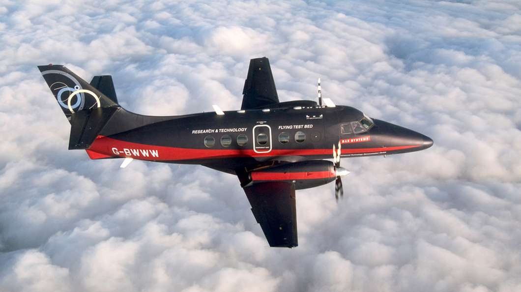
In light of a recent unmanned flight of a modified Jetstream aircraft by BAE, Gizmag looks at the future of civilian unmanned aircraft. Source: Beyond military drones – the future of unmanned flight
Tag Archives: drone
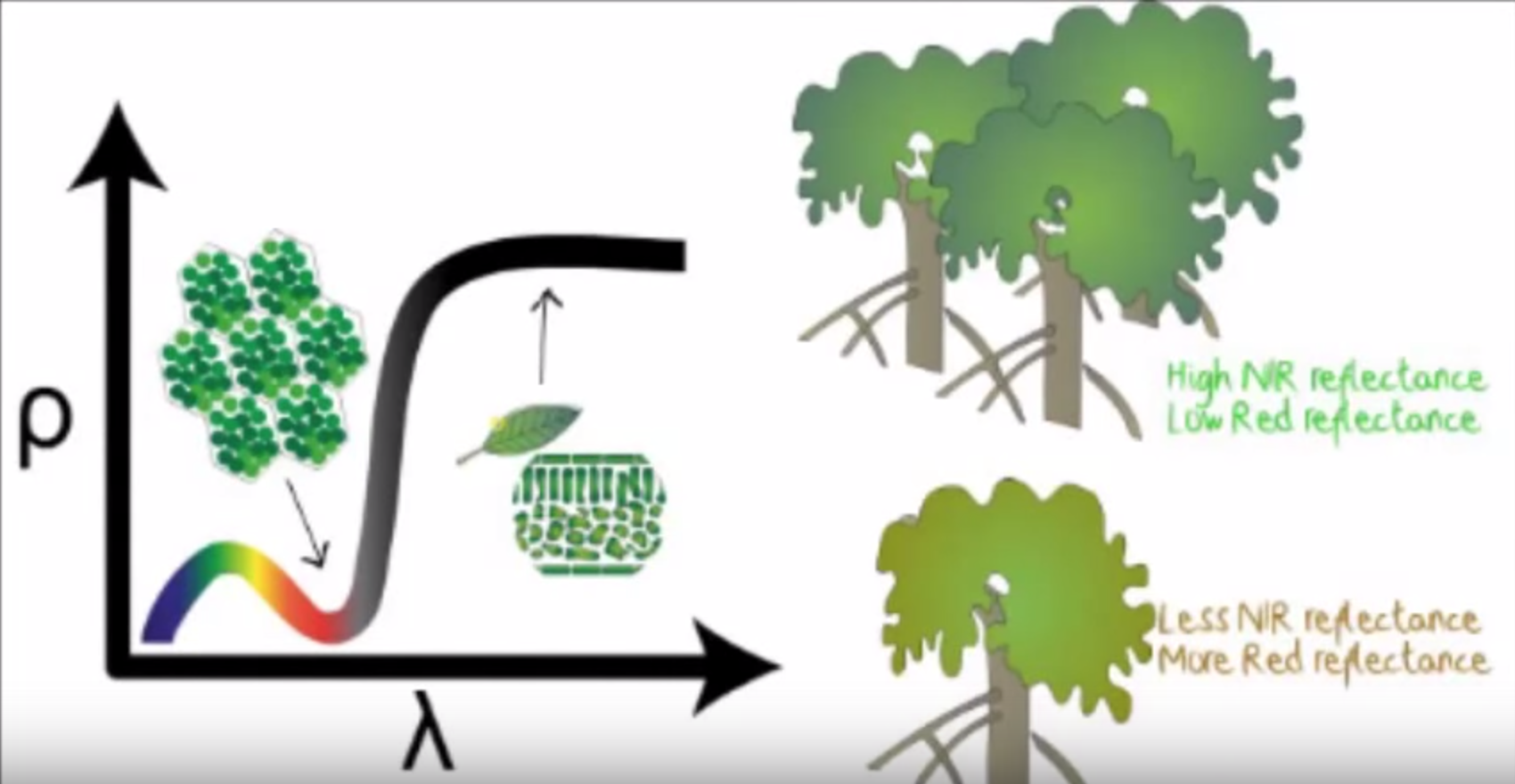
NDVI – Normalized Difference Vegetation Index Explained
NDVI stands for Normalized Difference Vegetation Index which is an important parameter indicating the healthiness of vegetation. By using near-infrared imagery technology, a NDVI map can be drawn to reflect plant vigour in one area. A planter can then decide which actions to take in response to the NDVI result. Traditional sources of NDVI map include images from satellites […]
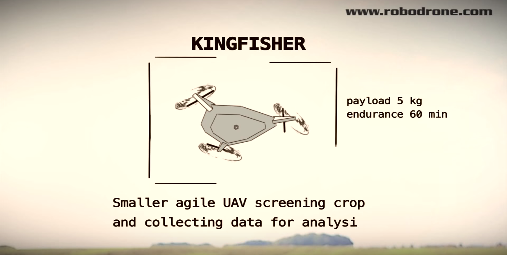
Precision Agriculture Explained
Here is a good video example which explains how drones can assist agriculture. A comparison between traditional and precision agriculture is gave in this video. This is what Drone Dynamics wants to achieve and provide! Check it out!