One primary usage of UAV is to collect high quality imageries, both visible and invisible, in order to obtain a higher level of detail. This data can then be further processed to make good business decisions, detect trends and predict future changes or potential issues that might arise.
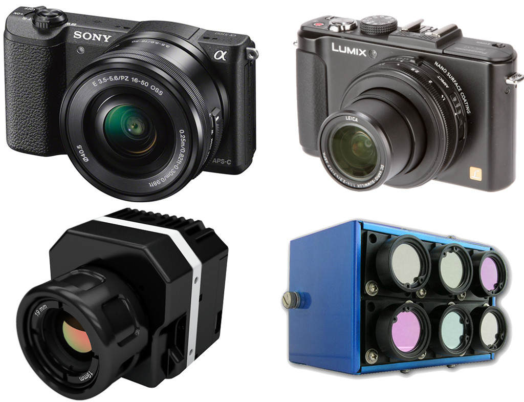
The imagery sensors used in UAV field can be categorized by light Spectrum:
- Visible Light Sensors (RGB) – Visible To The Human Eye
- Near Infrared Sensors (NIR) – Mostly Invisible to the Human Eye
- Infrared Sensors (IR) – Invisible To The Human Eye
- Multispectral Sensors – Mixed Visible and Invisible Channels
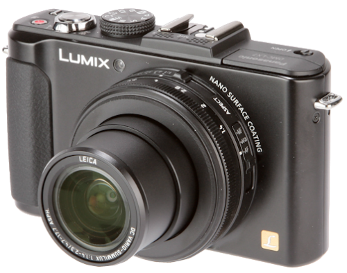
Visible Light Sensors (RGB)
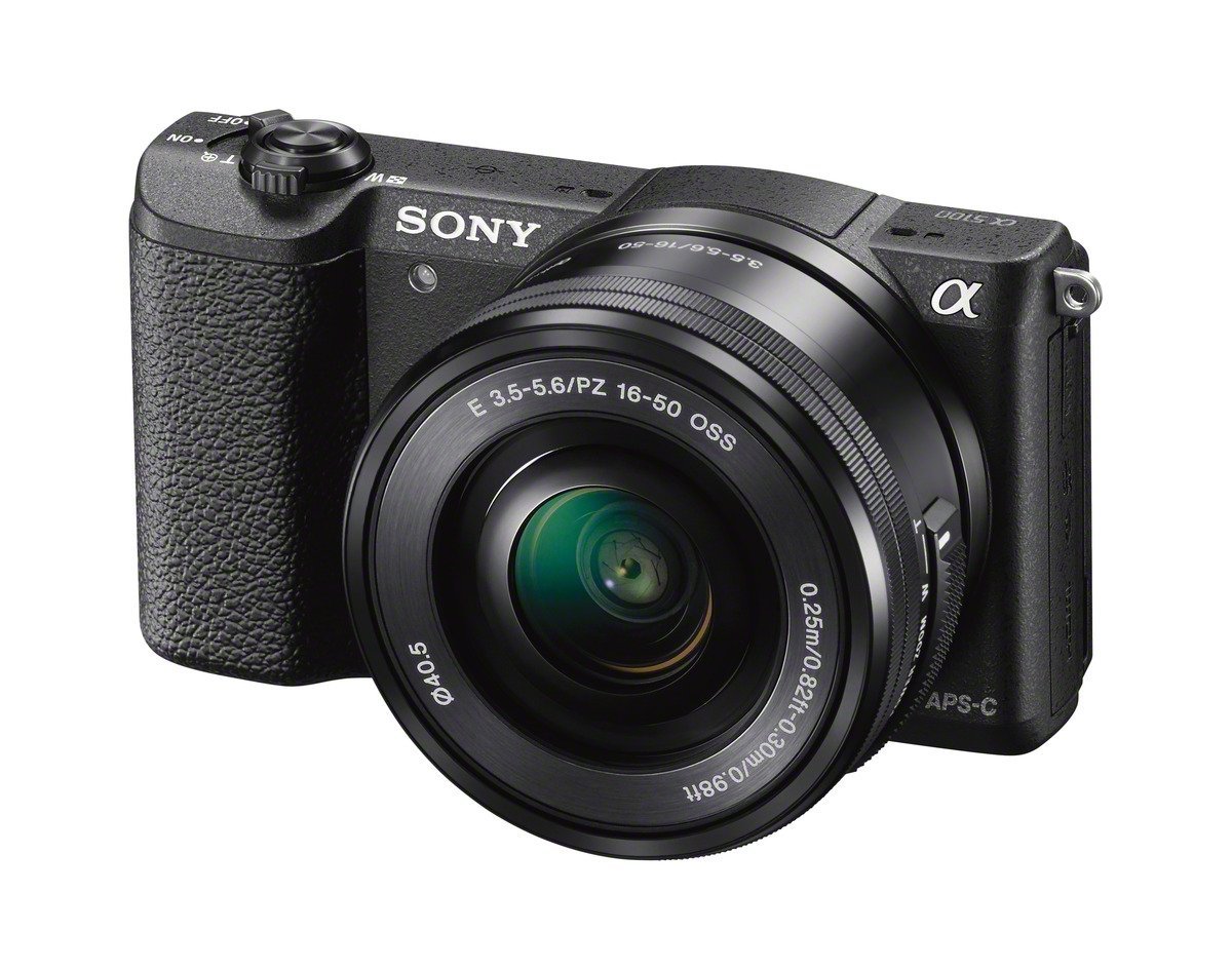
Visible light sensors detect all light that falls in the visible light region of the electromagnetic spectrum. This is the light range that our eyes can naturally see.
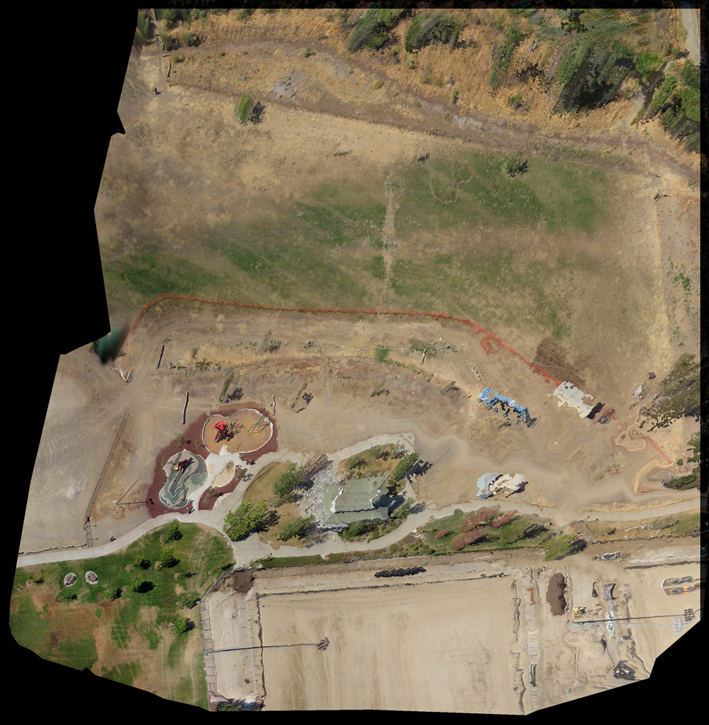
Visible imagery is ideal for a wide range of applications including agriculture, archaeology, construction, surveying, mining, forestry, maintenance, marine/maritime and surveillance. It forms the backbone of most UAV applications and is fairly easy to process into large maps and mosaics with mainstream programs such as Agisoft Photoscan and Pix4D.
Near Infrared Sensors (NIR)
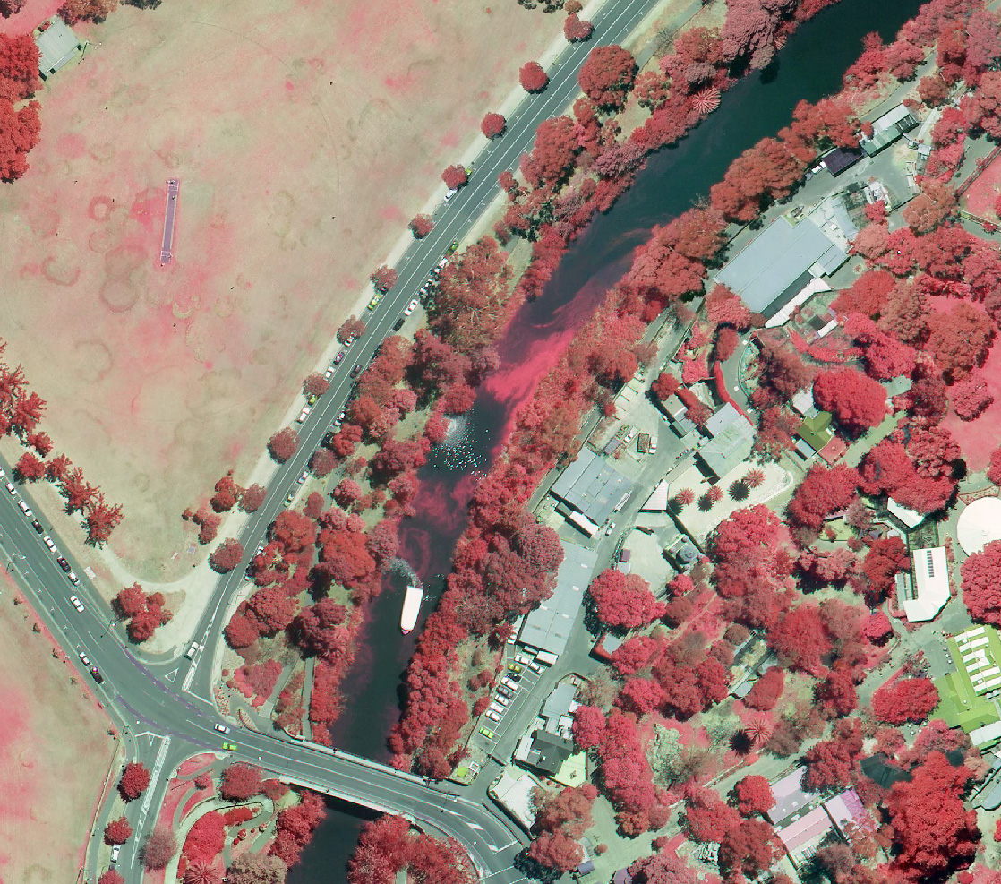
The near infrared region (NIR, 720nm to 1000nm) is closest in wavelength to the visible region of the electromagnetic spectrum. The human eye is considerably less sensitive to this area. The band of NIR sitting right next to the visible spectrum is referred to as the “red edge” (NIR, 720nm to 850nm) and is used heavily in agricultural solutions. This band forms part of the complex equation named NDVI, which is used as a baseline for vegetation analysis. Thus near infrared imagery is ideal for applications such as agriculture, archaeology and forestry.
Learn how Drone Dynamics helps planters to build up NDVI maps to better understand their plants.
Infrared Sensors (IR)
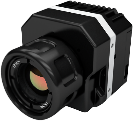
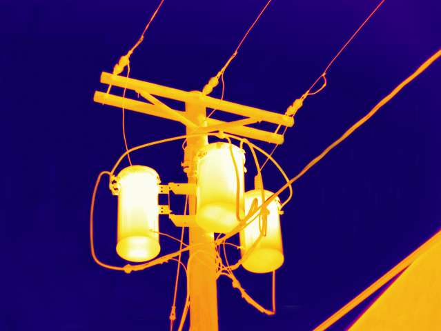
Infrared (IR) lies between the visible and microwave portions of the electromagnetic spectrum. We are unable to see infrared (IR) light with our eyes, but as it grows in intensity and moves down the spectrum we begin to experience it as heat. Being able to capture this radiation and present it as something visible gives us additional information we otherwise could not obtain naturally.
Thermal imagery is ideal for applications such as inspections, water management, animal management, surveillance and search and rescue.
Multispectral Sensors
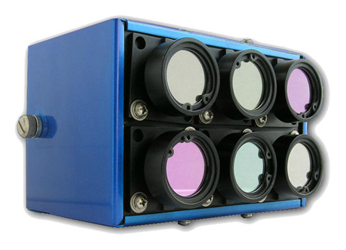
Multispectral sensors allow specific ranges of the electromagnetic spectrum to be captured, normally in the range of 350nm to 1000nm. The user might need narrow bands of light to be captured in order to detect the signatures of an anomaly or disease on the ground.
A multispectral camera with multiple channels and user definable filters will allow this to happen. The result is that multispectral sensors can have a combination of multiple arrays of visible, NIR and IR sensing capabilities and can be solely configured in a way that the application requires.
It’s All About Your Applications!
Drone Dynamics is capable of integrating all these UAV sensor solutions to meet your need! Contact us for more information about how these sensing technology can be integrated into your business.