
20200917 | A Powerful Tool for Slope Management: K-Force UAV
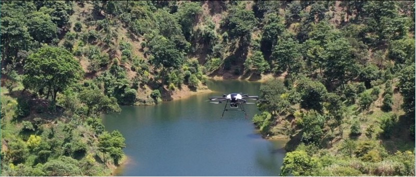
Photo: 自由時報
In practice, slope management involves frequent monitoring of vegetation cover, exposed surfaces and crack development. Manual inspection is slow and puts personnel at risk in steep terrain.
Drones flying pre-planned routes can produce comparable orthophotos and 3D models over time, letting authorities track long-term terrain changes with data rather than guesswork.
After typhoons and heavy rain, drones can reach hard-to-access areas immediately, giving responders a rapid damage assessment when time matters most.
Inspection-focused missions like this are precisely the domain of the Drone Dynamics Sentinel X4 Plus Recon, our inspection-focused UAV.
Drones have become a powerful tool for slope management, supporting large-area terrain monitoring and early warning.
Applications like this significantly improve efficiency for landslide monitoring and disaster prevention.
Original source: 自由時報